Long field
Introduction
The photograph on this page of Long field by Michael Dibb as part of the Geograph project.
The Geograph project started in 2005 with the aim of publishing, organising and preserving representative images for every square kilometre of Great Britain, Ireland and the Isle of Man.

There are currently over 7.5m images from over 14,400 individuals and you can help contribute to the project by visiting https://www.geograph.org.uk
Long field
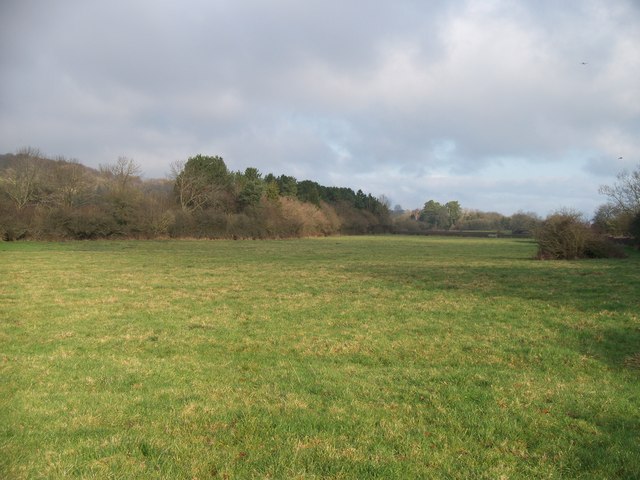
Image: © Michael Dibb Taken: 13 Dec 2009
The footpath from the Fosse Way to Wyck Rissington goes diagonally across this lengthy field. This view is looking towards the Fosse Way. The trees to the left mark the course of the embankment of the dismantled Banbury to Cheltenham Direct railway, closed in the early 1960s.
Images are licensed for reuse under creativecommons.org/licenses/by-sa/2.0
Image Location
Latitude
51.909366
Longitude
-1.730151