Playing Fields, Varndean College
Introduction
The photograph on this page of Playing Fields, Varndean College by Simon Carey as part of the Geograph project.
The Geograph project started in 2005 with the aim of publishing, organising and preserving representative images for every square kilometre of Great Britain, Ireland and the Isle of Man.

There are currently over 7.5m images from over 14,400 individuals and you can help contribute to the project by visiting https://www.geograph.org.uk
Playing Fields, Varndean College
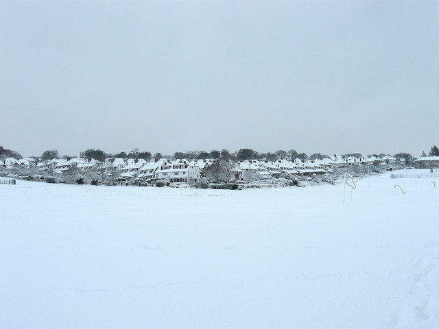
Image: © Simon Carey Taken: 18 Dec 2009
The goalposts are just about visible next to the blanket of snow that appeared overnight. Much of the land here once belonged to Varndean Farm and was purchased by the old borough education committee. The area now hosts five schools; Balfour Infants, Balfour Juniors, Dorothy Stringer High School, Varndean Secondary School and Varndean College. The latter two were originally built in the 1930s and were a separate boys and girls school until a reorganisation of education facilities in 1975. The houses beyond the fields belong to Friar Road and Friar Crescent.
Images are licensed for reuse under creativecommons.org/licenses/by-sa/2.0
Image Location
Latitude
50.850677
Longitude
-0.141271