High Barns Farm
Introduction
The photograph on this page of High Barns Farm by Andrew Tatlow as part of the Geograph project.
The Geograph project started in 2005 with the aim of publishing, organising and preserving representative images for every square kilometre of Great Britain, Ireland and the Isle of Man.

There are currently over 7.5m images from over 14,400 individuals and you can help contribute to the project by visiting https://www.geograph.org.uk
High Barns Farm
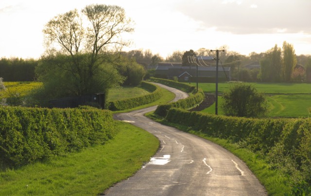
Image: © Andrew Tatlow Taken: 1 May 2006
This road looks very welcoming and has no signs to the contrary but as we neared the farm buildings we were stopped and told that it was a private road and it was against the law for us to continue along the road through the farm. No gates, no signs, no nothing! A very big farm with several houses and cottages and a steady stream of traffic along the road.
Images are licensed for reuse under creativecommons.org/licenses/by-sa/2.0
Image Location
Latitude
52.174394
Longitude
-0.341651