View north-east of the A39
Introduction
The photograph on this page of View north-east of the A39 by Jonathan Billinger as part of the Geograph project.
The Geograph project started in 2005 with the aim of publishing, organising and preserving representative images for every square kilometre of Great Britain, Ireland and the Isle of Man.

There are currently over 7.5m images from over 14,400 individuals and you can help contribute to the project by visiting https://www.geograph.org.uk
View north-east of the A39
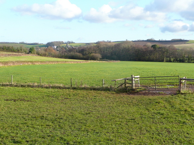
Image: © Jonathan Billinger Taken: 17 Dec 2009
Looking towards the tower of St. Andrew's church, Old Cleeve nestling at the foot of Claydowns Hill.
Images are licensed for reuse under creativecommons.org/licenses/by-sa/2.0
Image Location
Latitude
51.163902
Longitude
-3.39306