Gamston superstore
Introduction
The photograph on this page of Gamston superstore by Alan Murray-Rust as part of the Geograph project.
The Geograph project started in 2005 with the aim of publishing, organising and preserving representative images for every square kilometre of Great Britain, Ireland and the Isle of Man.

There are currently over 7.5m images from over 14,400 individuals and you can help contribute to the project by visiting https://www.geograph.org.uk
Gamston superstore
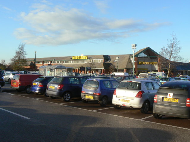
Image: © Alan Murray-Rust Taken: 13 Dec 2009
This appears to have been an essential part of the plan when the extensive Gamston housing development of the 1980s and 90s was planned.
Images are licensed for reuse under creativecommons.org/licenses/by-sa/2.0
Image Location
Latitude
52.924499
Longitude
-1.102275