Gamston Community Hall
Introduction
The photograph on this page of Gamston Community Hall by Alan Murray-Rust as part of the Geograph project.
The Geograph project started in 2005 with the aim of publishing, organising and preserving representative images for every square kilometre of Great Britain, Ireland and the Isle of Man.

There are currently over 7.5m images from over 14,400 individuals and you can help contribute to the project by visiting https://www.geograph.org.uk
Gamston Community Hall
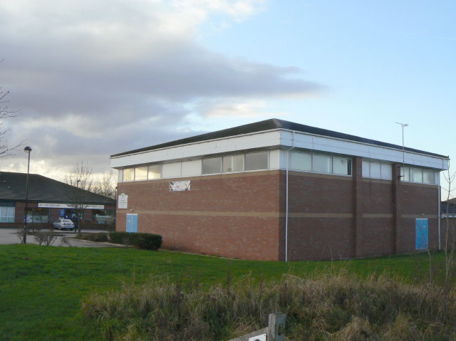
Image: © Alan Murray-Rust Taken: 13 Dec 2009
Community based facilities for the extensive Gamston development of the 1980s and 90s are clustered in this area.
Images are licensed for reuse under creativecommons.org/licenses/by-sa/2.0
Image Location
Latitude
52.92412
Longitude
-1.099754