Arable land near Stoulton
Introduction
The photograph on this page of Arable land near Stoulton by Philip Halling as part of the Geograph project.
The Geograph project started in 2005 with the aim of publishing, organising and preserving representative images for every square kilometre of Great Britain, Ireland and the Isle of Man.

There are currently over 7.5m images from over 14,400 individuals and you can help contribute to the project by visiting https://www.geograph.org.uk
Arable land near Stoulton
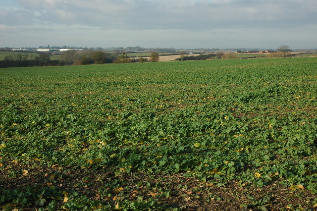
Image: © Philip Halling Taken: 13 Dec 2009
View across arable land to the east of Stoulton, on the right in the middle distance is Mucknell Farm, currently being redeveloped, and in the distance are industrial units at Norton.
Images are licensed for reuse under creativecommons.org/licenses/by-sa/2.0
Image Location
Latitude
52.154506
Longitude
-2.131649