Footpath around Beechwood Estate
Introduction
The photograph on this page of Footpath around Beechwood Estate by Lairich Rig as part of the Geograph project.
The Geograph project started in 2005 with the aim of publishing, organising and preserving representative images for every square kilometre of Great Britain, Ireland and the Isle of Man.

There are currently over 7.5m images from over 14,400 individuals and you can help contribute to the project by visiting https://www.geograph.org.uk
Footpath around Beechwood Estate
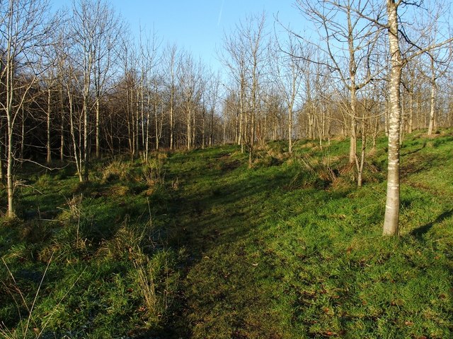
Image: © Lairich Rig Taken: 4 Dec 2009
The path leads right around the outer edge of Beechwood Estate, although here, on the northern side, it is separated from the estate by an old dry-stone wall and by a strip of woodland that is older and much denser than that crossed by the path itself.
Images are licensed for reuse under creativecommons.org/licenses/by-sa/2.0
Image Location
Latitude
55.972929
Longitude
-4.552473