Shepherd's House junction
Introduction
The photograph on this page of Shepherd's House junction by Alan Murray-Rust as part of the Geograph project.
The Geograph project started in 2005 with the aim of publishing, organising and preserving representative images for every square kilometre of Great Britain, Ireland and the Isle of Man.

There are currently over 7.5m images from over 14,400 individuals and you can help contribute to the project by visiting https://www.geograph.org.uk
Shepherd's House junction
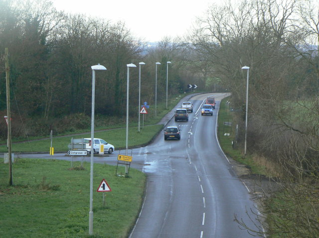
Image: © Alan Murray-Rust Taken: 13 Dec 2009
The road to Cotgrave turns off to the left. The main road is Stragglethorpe Lane and was substantially improved in the 1950s when Cotgrave Colliery was developed.
Images are licensed for reuse under creativecommons.org/licenses/by-sa/2.0
Image Location
Latitude
52.931868
Longitude
-1.055556