Julian's Reen, Pye Corner
Introduction
The photograph on this page of Julian's Reen, Pye Corner by Robin Drayton as part of the Geograph project.
The Geograph project started in 2005 with the aim of publishing, organising and preserving representative images for every square kilometre of Great Britain, Ireland and the Isle of Man.

There are currently over 7.5m images from over 14,400 individuals and you can help contribute to the project by visiting https://www.geograph.org.uk
Julian's Reen, Pye Corner
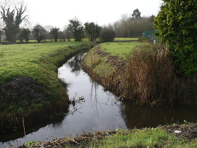
Image: © Robin Drayton Taken: 9 Dec 2009
Viewed from Broadstreet Common and adjacent to Image, this is one of the main reens on the Caldicot Level.
Images are licensed for reuse under creativecommons.org/licenses/by-sa/2.0
Image Location
Latitude
51.560883
Longitude
-2.944535