Council/Private Housing - Court Road
Introduction
The photograph on this page of Council/Private Housing - Court Road by John M as part of the Geograph project.
The Geograph project started in 2005 with the aim of publishing, organising and preserving representative images for every square kilometre of Great Britain, Ireland and the Isle of Man.

There are currently over 7.5m images from over 14,400 individuals and you can help contribute to the project by visiting https://www.geograph.org.uk
Council/Private Housing - Court Road
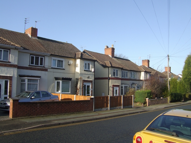
Image: © John M Taken: 12 Dec 2009
Houses on the Newbridge Estate built by the Council in 1923-4 were sold to meet a demand that could not be met at that time by private developers.
Images are licensed for reuse under creativecommons.org/licenses/by-sa/2.0
Image Location
Latitude
52.596794
Longitude
-2.153347