End of Main Street, Dunshalt
Introduction
The photograph on this page of End of Main Street, Dunshalt by Richard Webb as part of the Geograph project.
The Geograph project started in 2005 with the aim of publishing, organising and preserving representative images for every square kilometre of Great Britain, Ireland and the Isle of Man.

There are currently over 7.5m images from over 14,400 individuals and you can help contribute to the project by visiting https://www.geograph.org.uk
End of Main Street, Dunshalt
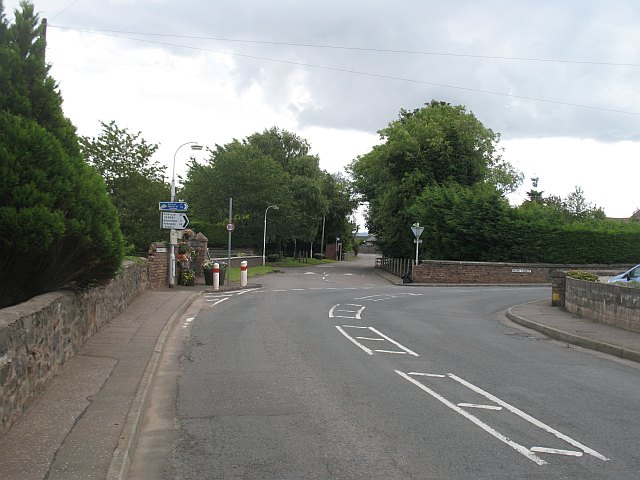
Image: © Richard Webb Taken: 31 Jul 2009
At the bend, Auchtermuchty Road becomes Main Street. The mushroom farm is behind the hedge to the left.
Images are licensed for reuse under creativecommons.org/licenses/by-sa/2.0
Image Location
Latitude
56.281982
Longitude
-3.214746