Track and Bridge over Dismantled Railway
Introduction
The photograph on this page of Track and Bridge over Dismantled Railway by Philip Barker as part of the Geograph project.
The Geograph project started in 2005 with the aim of publishing, organising and preserving representative images for every square kilometre of Great Britain, Ireland and the Isle of Man.

There are currently over 7.5m images from over 14,400 individuals and you can help contribute to the project by visiting https://www.geograph.org.uk
Track and Bridge over Dismantled Railway
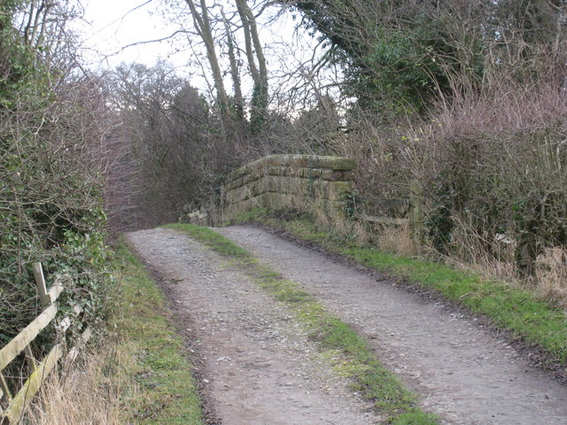
Image: © Philip Barker Taken: 13 Dec 2009
The track shown in this photograph links Low Field (east of the bridge) and Chapel House (to the west). The bridge itself spans a dismantled railway line that used to run between Forcett Valley and Darlington.
Images are licensed for reuse under creativecommons.org/licenses/by-sa/2.0
Image Location
Latitude
54.533686
Longitude
-1.7089