Uphill near Roborough Down
Introduction
The photograph on this page of Uphill near Roborough Down by Sarah Smith as part of the Geograph project.
The Geograph project started in 2005 with the aim of publishing, organising and preserving representative images for every square kilometre of Great Britain, Ireland and the Isle of Man.

There are currently over 7.5m images from over 14,400 individuals and you can help contribute to the project by visiting https://www.geograph.org.uk
Uphill near Roborough Down
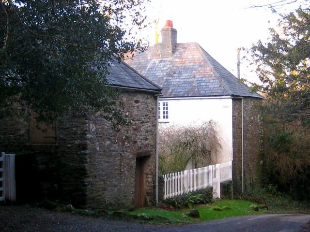
Image: © Sarah Smith Taken: 13 Dec 2009
This ancient stone house is the shape of a three-sided square - the fourth side being the garden fence. This gives the front a very sheltered outlook. It is situated on the side of the lane dipping steeply down towards a junction and below that a stream.
Images are licensed for reuse under creativecommons.org/licenses/by-sa/2.0
Image Location


Leaflet Map data © OpenStreetMap
Latitude
50.474
Longitude
-4.112434