Field beside Wickington Lane
Introduction
The photograph on this page of Field beside Wickington Lane by Derek Harper as part of the Geograph project.
The Geograph project started in 2005 with the aim of publishing, organising and preserving representative images for every square kilometre of Great Britain, Ireland and the Isle of Man.

There are currently over 7.5m images from over 14,400 individuals and you can help contribute to the project by visiting https://www.geograph.org.uk
Field beside Wickington Lane
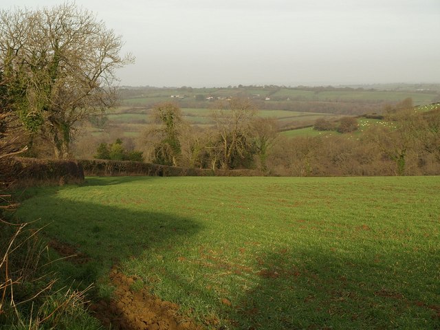
Image: © Derek Harper Taken: 9 Dec 2009
From a gateway on the lane, which carries South Tawton Footpath 60, and is on the other side of the hedge on the left, a view towards the Taw valley.
Images are licensed for reuse under creativecommons.org/licenses/by-sa/2.0
Image Location
Latitude
50.754524
Longitude
-3.903584