Paignton - Former United Reformed Church
Introduction
The photograph on this page of Paignton - Former United Reformed Church by Chris Talbot as part of the Geograph project.
The Geograph project started in 2005 with the aim of publishing, organising and preserving representative images for every square kilometre of Great Britain, Ireland and the Isle of Man.

There are currently over 7.5m images from over 14,400 individuals and you can help contribute to the project by visiting https://www.geograph.org.uk
Paignton - Former United Reformed Church
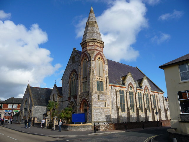
Image: © Chris Talbot Taken: 21 Oct 2009
This church close to the bus station is no longer used for services.
Images are licensed for reuse under creativecommons.org/licenses/by-sa/2.0
Image Location
Latitude
50.434668
Longitude
-3.568535