Footpath to Rookwood Lane
Introduction
The photograph on this page of Footpath to Rookwood Lane by Bob Jones as part of the Geograph project.
The Geograph project started in 2005 with the aim of publishing, organising and preserving representative images for every square kilometre of Great Britain, Ireland and the Isle of Man.

There are currently over 7.5m images from over 14,400 individuals and you can help contribute to the project by visiting https://www.geograph.org.uk
Footpath to Rookwood Lane
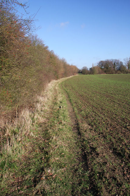
Image: © Bob Jones Taken: 10 Dec 2009
This path follows the northern edge of a large field. It leads to Rookwood Lane, with an alternative route which heads to Preston St Mary.
Images are licensed for reuse under creativecommons.org/licenses/by-sa/2.0
Image Location
Latitude
52.1208
Longitude
0.818737