Section of the Cowbridge rat run
Introduction
The photograph on this page of Section of the Cowbridge rat run by Mick Lobb as part of the Geograph project.
The Geograph project started in 2005 with the aim of publishing, organising and preserving representative images for every square kilometre of Great Britain, Ireland and the Isle of Man.

There are currently over 7.5m images from over 14,400 individuals and you can help contribute to the project by visiting https://www.geograph.org.uk
Section of the Cowbridge rat run
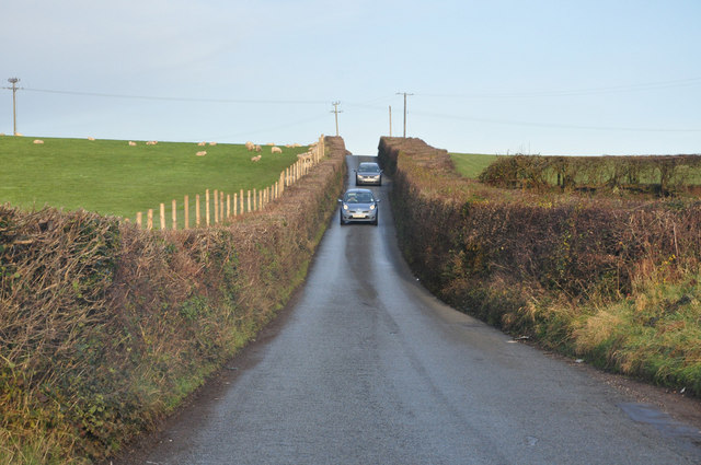
Image: © Mick Lobb Taken: 11 Dec 2009
This is a section of the 'road' between St Athan and Llantwit Major to Cowbridge. For much of its length it reduces to a single lane flow with passing places. It is a country road so such inconvenience has to be expected but as small rural communities expand and ever increasing demands to locate industrial sites in such areas increase traffic, so the risks escalate. More countryside is then lost to roads, if local councils can afford them, to meet these needs. The criteria to meet the need is largely established by determining how many have been killed on a particular route before such improvements come about however.
Images are licensed for reuse under creativecommons.org/licenses/by-sa/2.0
Image Location
Latitude
51.446245
Longitude
-3.439052