Henson Lane
Introduction
The photograph on this page of Henson Lane by Alan Murray-Rust as part of the Geograph project.
The Geograph project started in 2005 with the aim of publishing, organising and preserving representative images for every square kilometre of Great Britain, Ireland and the Isle of Man.

There are currently over 7.5m images from over 14,400 individuals and you can help contribute to the project by visiting https://www.geograph.org.uk
Henson Lane
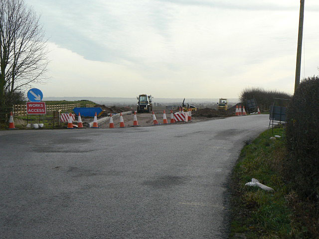
Image: © Alan Murray-Rust Taken: 8 Dec 2009
A significant change in alignment occurs at this point. The new road will cross the new A46 via an overbridge to rejoin the old Fosse Way some way north of the present junction.
Images are licensed for reuse under creativecommons.org/licenses/by-sa/2.0
Image Location
Latitude
52.942534
Longitude
-0.996841