Lenton Avenue
Introduction
The photograph on this page of Lenton Avenue by Alan Murray-Rust as part of the Geograph project.
The Geograph project started in 2005 with the aim of publishing, organising and preserving representative images for every square kilometre of Great Britain, Ireland and the Isle of Man.

There are currently over 7.5m images from over 14,400 individuals and you can help contribute to the project by visiting https://www.geograph.org.uk
Lenton Avenue
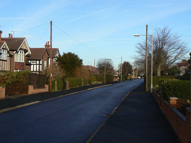
Image: © Alan Murray-Rust Taken: 8 Dec 2009
Tudorbethan houses give the clue to the fact that most of the current village dates from the 1930s and later.
Images are licensed for reuse under creativecommons.org/licenses/by-sa/2.0
Image Location
Latitude
52.901588
Longitude
-1.103938