2009 : The sign of The Linnet, Great Hinton
Introduction
The photograph on this page of 2009 : The sign of The Linnet, Great Hinton by Maurice Pullin as part of the Geograph project.
The Geograph project started in 2005 with the aim of publishing, organising and preserving representative images for every square kilometre of Great Britain, Ireland and the Isle of Man.

There are currently over 7.5m images from over 14,400 individuals and you can help contribute to the project by visiting https://www.geograph.org.uk
2009 : The sign of The Linnet, Great Hinton
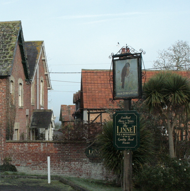
Image: © Maurice Pullin Taken: 1 Dec 2009
Large car park, more information in http://www.thisiswiltshire.co.uk/news/1180574.the_linnet_at_great_hinton/ Like most of the village it is built in red brick which is typical of older housing in the area.
Images are licensed for reuse under creativecommons.org/licenses/by-sa/2.0
Image Location
Latitude
51.330559
Longitude
-2.134008