Field south of Meadow Rise
Introduction
The photograph on this page of Field south of Meadow Rise by Bob Embleton as part of the Geograph project.
The Geograph project started in 2005 with the aim of publishing, organising and preserving representative images for every square kilometre of Great Britain, Ireland and the Isle of Man.

There are currently over 7.5m images from over 14,400 individuals and you can help contribute to the project by visiting https://www.geograph.org.uk
Field south of Meadow Rise
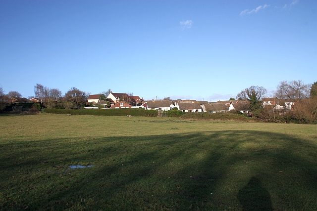
Image: © Bob Embleton Taken: 6 Dec 2009
The field has the railway embankment on its west side, Meadow Rise to the north and the Grove School to the east. There are more fields to the south all of which may soon be developed for housing.
Images are licensed for reuse under creativecommons.org/licenses/by-sa/2.0
Image Location
Latitude
52.120347
Longitude
-2.31762