Fields east of the railway
Introduction
The photograph on this page of Fields east of the railway by Bob Embleton as part of the Geograph project.
The Geograph project started in 2005 with the aim of publishing, organising and preserving representative images for every square kilometre of Great Britain, Ireland and the Isle of Man.

There are currently over 7.5m images from over 14,400 individuals and you can help contribute to the project by visiting https://www.geograph.org.uk
Fields east of the railway
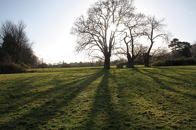
Image: © Bob Embleton Taken: 6 Dec 2009
Fields on land between The Grove School and the railway embankment (seen on the right). These fields have been identified as suitable for development as a future housing estate. The spire of Christchurch can be seen in the distance.
Images are licensed for reuse under creativecommons.org/licenses/by-sa/2.0
Image Location
Latitude
52.118819
Longitude
-2.317609