The B5130 and a stone stile
Introduction
The photograph on this page of The B5130 and a stone stile by John S Turner as part of the Geograph project.
The Geograph project started in 2005 with the aim of publishing, organising and preserving representative images for every square kilometre of Great Britain, Ireland and the Isle of Man.

There are currently over 7.5m images from over 14,400 individuals and you can help contribute to the project by visiting https://www.geograph.org.uk
The B5130 and a stone stile
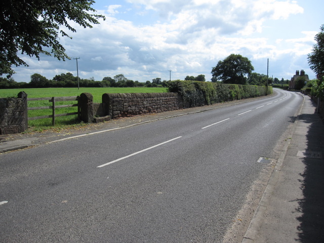
Image: © John S Turner Taken: 7 Aug 2009
Looking south along the B5130 as it leaves Aldford village. On the left is a gate and old stone stile, which are recorded on the 1882 map as the start of a track to a well. There is no footpath indicated on the modern O.S. map.
Images are licensed for reuse under creativecommons.org/licenses/by-sa/2.0
Image Location
Latitude
53.126001
Longitude
-2.866268