Old stone stile alongside the B5130
Introduction
The photograph on this page of Old stone stile alongside the B5130 by John S Turner as part of the Geograph project.
The Geograph project started in 2005 with the aim of publishing, organising and preserving representative images for every square kilometre of Great Britain, Ireland and the Isle of Man.

There are currently over 7.5m images from over 14,400 individuals and you can help contribute to the project by visiting https://www.geograph.org.uk
Old stone stile alongside the B5130
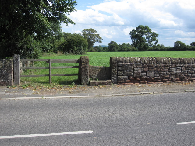
Image: © John S Turner Taken: 7 Aug 2009
There is no footpath associated with this stile shown on the modern O.S. map, however, the 1882 map indicates a track to a well, so I presume the stile was placed there for the same reason.
Images are licensed for reuse under creativecommons.org/licenses/by-sa/2.0
Image Location
Latitude
53.126001
Longitude
-2.866268