Barbridge Road, Bulkington at its junction with Staples Close
Introduction
The photograph on this page of Barbridge Road, Bulkington at its junction with Staples Close by John Brightley as part of the Geograph project.
The Geograph project started in 2005 with the aim of publishing, organising and preserving representative images for every square kilometre of Great Britain, Ireland and the Isle of Man.

There are currently over 7.5m images from over 14,400 individuals and you can help contribute to the project by visiting https://www.geograph.org.uk
Barbridge Road, Bulkington at its junction with Staples Close
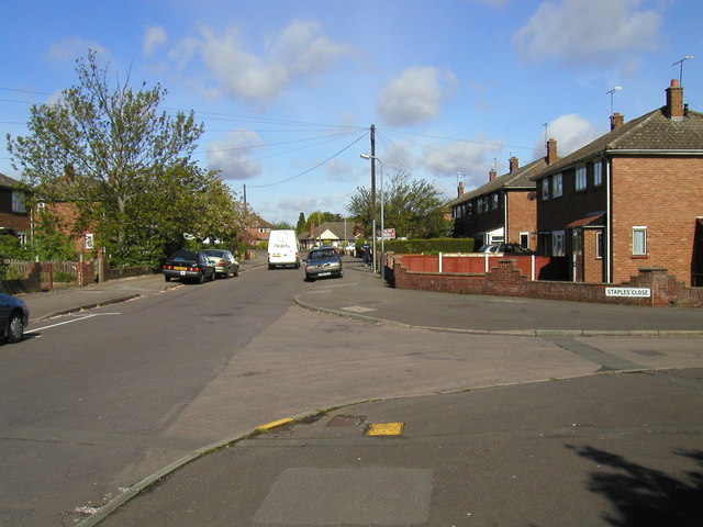
Image: © John Brightley Taken: 3 Jun 2003
These properties were built as council houses in the 1950's.
Images are licensed for reuse under creativecommons.org/licenses/by-sa/2.0
Image Location
Latitude
52.479169
Longitude
-1.425136