River Chelmer before the new road
Introduction
The photograph on this page of River Chelmer before the new road by Robin Webster as part of the Geograph project.
The Geograph project started in 2005 with the aim of publishing, organising and preserving representative images for every square kilometre of Great Britain, Ireland and the Isle of Man.

There are currently over 7.5m images from over 14,400 individuals and you can help contribute to the project by visiting https://www.geograph.org.uk
River Chelmer before the new road
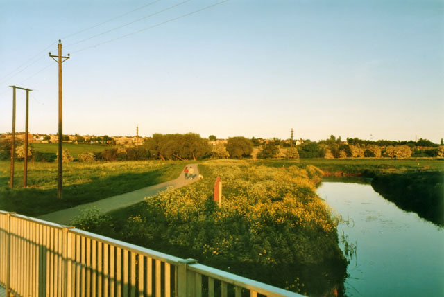
Image: © Robin Webster Taken: Unknown
An evening view looking from the fairly recent footbridge for the riverside walk to where the new road was to cross - just beyond the walkers. The white dot in the field on the right is a marking out peg, another is just visible on the river bank.
Images are licensed for reuse under creativecommons.org/licenses/by-sa/2.0
Image Location
Latitude
51.749373
Longitude
0.475482