The A4120 approaching Aberystwyth
Introduction
The photograph on this page of The A4120 approaching Aberystwyth by Nigel Brown as part of the Geograph project.
The Geograph project started in 2005 with the aim of publishing, organising and preserving representative images for every square kilometre of Great Britain, Ireland and the Isle of Man.

There are currently over 7.5m images from over 14,400 individuals and you can help contribute to the project by visiting https://www.geograph.org.uk
The A4120 approaching Aberystwyth
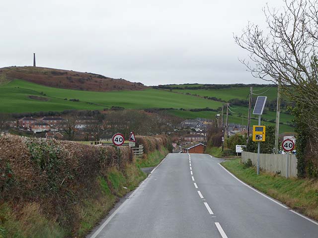
Image: © Nigel Brown Taken: 8 Dec 2009
The last straight bit, before a sudden descent and wiggle before its junctions with the B4340 and A487. Beyond, Aberystwyth's iconic Wellington monument can be seen on top of Pen Dinas, with the ramparts of the hill top fort also clearly visible.
Images are licensed for reuse under creativecommons.org/licenses/by-sa/2.0
Image Location
Latitude
52.397588
Longitude
-4.066566