2009 : North west from Iron Mill Lane
Introduction
The photograph on this page of 2009 : North west from Iron Mill Lane by Maurice Pullin as part of the Geograph project.
The Geograph project started in 2005 with the aim of publishing, organising and preserving representative images for every square kilometre of Great Britain, Ireland and the Isle of Man.

There are currently over 7.5m images from over 14,400 individuals and you can help contribute to the project by visiting https://www.geograph.org.uk
2009 : North west from Iron Mill Lane
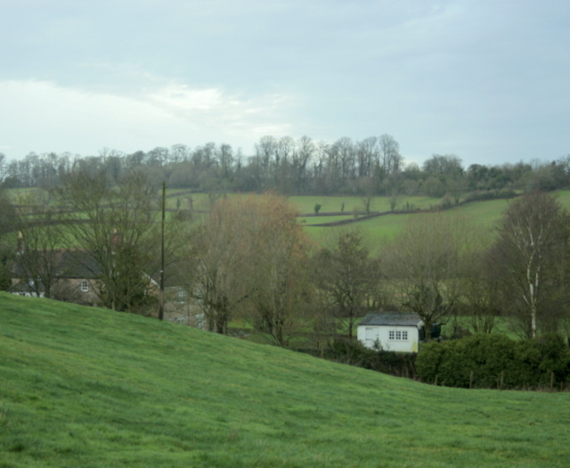
Image: © Maurice Pullin Taken: 8 Dec 2009
Opposite the junction with Cuckoo Lane. The Mells River is at the bottom of the valley, at one time it powered a number of iron mills in this area. "In the late 18th and early 19th centuries, the Fussell family ran a highly successful iron works business producing edge tools such as scythes, sickles, spades, shovels and other agricultural implements." The above was copied from: http://www.bgs.ac.uk/mendips/Industrial_archaeology/fussells.html
Images are licensed for reuse under creativecommons.org/licenses/by-sa/2.0
Image Location
Latitude
51.247017
Longitude
-2.322737