A1237 York Outer Ring Road under construction
Introduction
The photograph on this page of A1237 York Outer Ring Road under construction by Michael Jagger as part of the Geograph project.
The Geograph project started in 2005 with the aim of publishing, organising and preserving representative images for every square kilometre of Great Britain, Ireland and the Isle of Man.

There are currently over 7.5m images from over 14,400 individuals and you can help contribute to the project by visiting https://www.geograph.org.uk
A1237 York Outer Ring Road under construction
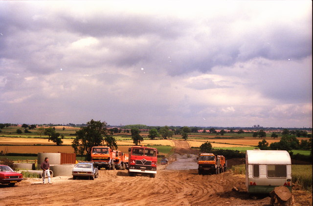
Image: © Michael Jagger Taken: Unknown
The picture is taken from the hill, near the roundabout and Water Tower, looking Northwards towards York, the hill is part of a Terminal Moraine from the Ice Age which straddles York (roughly East - West). York Minster can be seen on the horizon to the right hand side.
Images are licensed for reuse under creativecommons.org/licenses/by-sa/2.0
Image Location
Latitude
53.921445
Longitude
-1.150923