Houses just north of Whitehill Farm
Introduction
The photograph on this page of Houses just north of Whitehill Farm by Rob Hinkley as part of the Geograph project.
The Geograph project started in 2005 with the aim of publishing, organising and preserving representative images for every square kilometre of Great Britain, Ireland and the Isle of Man.

There are currently over 7.5m images from over 14,400 individuals and you can help contribute to the project by visiting https://www.geograph.org.uk
Houses just north of Whitehill Farm
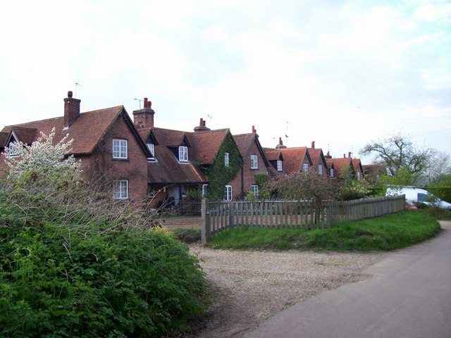
Image: © Rob Hinkley Taken: 29 Apr 2006
This terrace of houses is so close to Whitehill farm that the 1:50,000 OS map shows them as part of the same feature, as if the farm buildings are spreading along the road.
Images are licensed for reuse under creativecommons.org/licenses/by-sa/2.0
Image Location
Latitude
51.823802
Longitude
-0.22396