Demolished Fastfood Restaurant
Introduction
The photograph on this page of Demolished Fastfood Restaurant by David Anstiss as part of the Geograph project.
The Geograph project started in 2005 with the aim of publishing, organising and preserving representative images for every square kilometre of Great Britain, Ireland and the Isle of Man.

There are currently over 7.5m images from over 14,400 individuals and you can help contribute to the project by visiting https://www.geograph.org.uk
Demolished Fastfood Restaurant
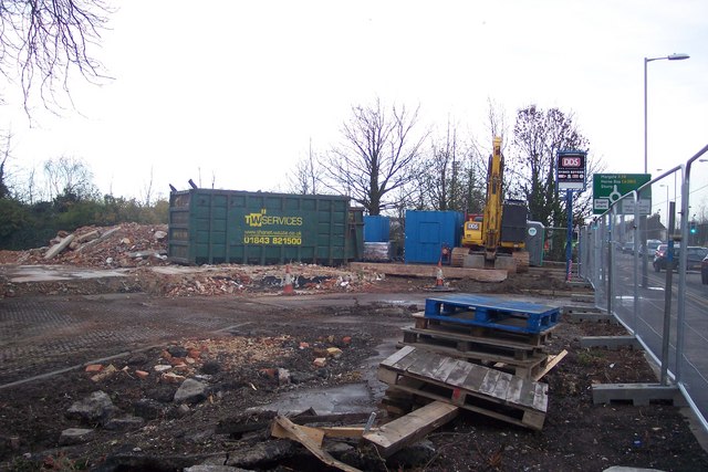
Image: © David Anstiss Taken: 5 Dec 2009
On the A28 Sturry Road, near the Asda / B and Q Warehouse Roundabout. See http://www.geograph.org.uk/photo/1522374 before the destruction.
Images are licensed for reuse under creativecommons.org/licenses/by-sa/2.0
Image Location
Latitude
51.283049
Longitude
1.089105