M5 motorway
Introduction
The photograph on this page of M5 motorway by Philip Halling as part of the Geograph project.
The Geograph project started in 2005 with the aim of publishing, organising and preserving representative images for every square kilometre of Great Britain, Ireland and the Isle of Man.

There are currently over 7.5m images from over 14,400 individuals and you can help contribute to the project by visiting https://www.geograph.org.uk
M5 motorway
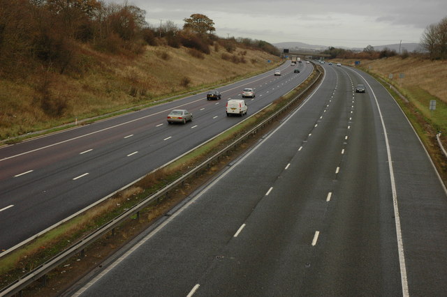
Image: © Philip Halling Taken: 5 Dec 2009
The M5 motorway to the north of junction 11a, viewed here from a footbridge. Oxenton Hill can be seen directly above the motorway on the horizon, with the roof of the new GCHQ building in the middle distance.
Images are licensed for reuse under creativecommons.org/licenses/by-sa/2.0
Image Location
Latitude
51.864337
Longitude
-2.163183