Toscaig turning area
Introduction
The photograph on this page of Toscaig turning area by Paul Bridge as part of the Geograph project.
The Geograph project started in 2005 with the aim of publishing, organising and preserving representative images for every square kilometre of Great Britain, Ireland and the Isle of Man.

There are currently over 7.5m images from over 14,400 individuals and you can help contribute to the project by visiting https://www.geograph.org.uk
Toscaig turning area
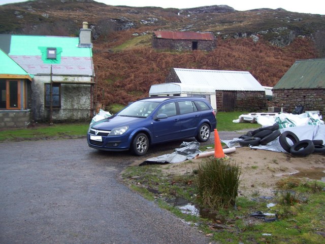
Image: © Paul Bridge Taken: 26 Nov 2009
The turning area at Toscaig looking to the left of the previous photo. This was taken only seconds before the strange old man in his car put in an appearance, yet again.
Images are licensed for reuse under creativecommons.org/licenses/by-sa/2.0
Image Location


Leaflet Map data © OpenStreetMap
Latitude
57.380002
Longitude
-5.803637