2009 : North of east at the end of Bowerhill Lane
Introduction
The photograph on this page of 2009 : North of east at the end of Bowerhill Lane by Maurice Pullin as part of the Geograph project.
The Geograph project started in 2005 with the aim of publishing, organising and preserving representative images for every square kilometre of Great Britain, Ireland and the Isle of Man.

There are currently over 7.5m images from over 14,400 individuals and you can help contribute to the project by visiting https://www.geograph.org.uk
2009 : North of east at the end of Bowerhill Lane
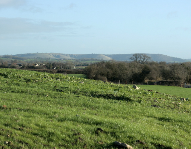
Image: © Maurice Pullin Taken: 6 Dec 2009
Make the most of the view over fields before they are covered with houses as is the nearby Bowerhill Estate. Centre frame, on the skyline a small group of trees mark Oliver's Castle Image
Images are licensed for reuse under creativecommons.org/licenses/by-sa/2.0
Image Location
Latitude
51.353416
Longitude
-2.117129