The Normans, Kirkstall
Introduction
The photograph on this page of The Normans, Kirkstall by Rich Tea as part of the Geograph project.
The Geograph project started in 2005 with the aim of publishing, organising and preserving representative images for every square kilometre of Great Britain, Ireland and the Isle of Man.

There are currently over 7.5m images from over 14,400 individuals and you can help contribute to the project by visiting https://www.geograph.org.uk
The Normans, Kirkstall
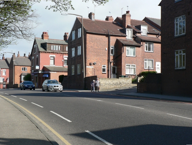
Image: © Rich Tea Taken: 28 Apr 2006
View across Abbey Road, Kirkstall. The street nearest the camera is Norman View, then Norman Grove and Norman Mount. See a similar picture from 1953 on Leodis http://www.leodis.net/display.aspx?id=8611
Images are licensed for reuse under creativecommons.org/licenses/by-sa/2.0
Image Location
Latitude
53.81836
Longitude
-1.602614