Broad Street to Bridge Street, Worcester
Introduction
The photograph on this page of Broad Street to Bridge Street, Worcester by Bob Embleton as part of the Geograph project.
The Geograph project started in 2005 with the aim of publishing, organising and preserving representative images for every square kilometre of Great Britain, Ireland and the Isle of Man.

There are currently over 7.5m images from over 14,400 individuals and you can help contribute to the project by visiting https://www.geograph.org.uk
Broad Street to Bridge Street, Worcester
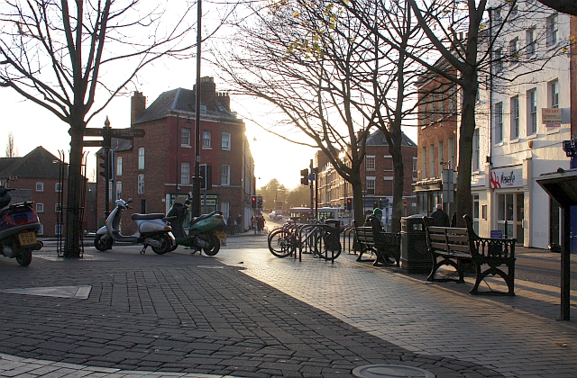
Image: © Bob Embleton Taken: 3 Dec 2009
A meeting of roads joining to cross over the River Severn. Clockwise from the left, Deansway, Quay Street, Bridge Street (straight ahead), Newport Street, All Saints Road and Broad Street on the right.
Images are licensed for reuse under creativecommons.org/licenses/by-sa/2.0
Image Location


Leaflet Map data © OpenStreetMap
Latitude
52.191765
Longitude
-2.22509