York Place, Hartlepool Headland
Introduction
The photograph on this page of York Place, Hartlepool Headland by Andrew Curtis as part of the Geograph project.
The Geograph project started in 2005 with the aim of publishing, organising and preserving representative images for every square kilometre of Great Britain, Ireland and the Isle of Man.

There are currently over 7.5m images from over 14,400 individuals and you can help contribute to the project by visiting https://www.geograph.org.uk
York Place, Hartlepool Headland
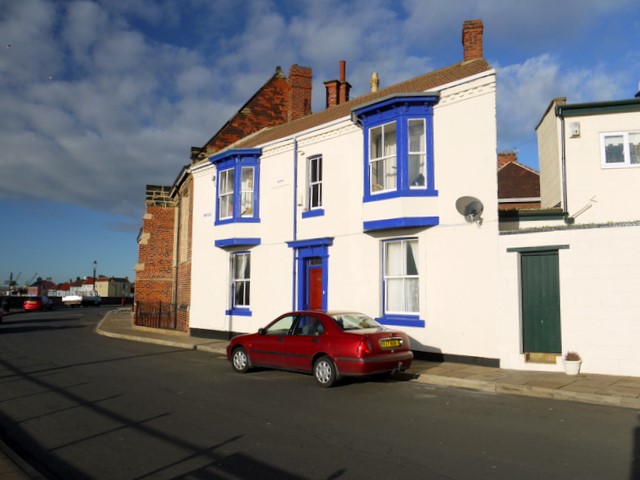
Image: © Andrew Curtis Taken: 4 Dec 2009
Attractively painted wedge-shaped house. St Andrew's Church is the brick building behind to its left. Other photos of the sea-view houses in York Place are here Image, Image
Images are licensed for reuse under creativecommons.org/licenses/by-sa/2.0
Image Location
Latitude
54.693688
Longitude
-1.182357