Gaer Road becomes a footpath, Newport
Introduction
The photograph on this page of Gaer Road becomes a footpath, Newport by Jaggery as part of the Geograph project.
The Geograph project started in 2005 with the aim of publishing, organising and preserving representative images for every square kilometre of Great Britain, Ireland and the Isle of Man.

There are currently over 7.5m images from over 14,400 individuals and you can help contribute to the project by visiting https://www.geograph.org.uk
Gaer Road becomes a footpath, Newport
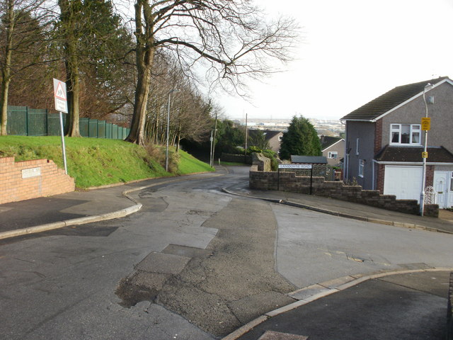
Image: © Jaggery Taken: 3 Dec 2009
A short distance beyond this junction with Lansdowne Road, Gaer Road can be seen narrowing to a footpath. The footpath continues for about 100 metres southeastwards before widening into a road again at the far end of Lansdowne Road, to continue as Gaer Road down to Cardiff Road.
Images are licensed for reuse under creativecommons.org/licenses/by-sa/2.0
Image Location
Latitude
51.574764
Longitude
-3.01582