2009 : Paulton Road, Paulton
Introduction
The photograph on this page of 2009 : Paulton Road, Paulton by Maurice Pullin as part of the Geograph project.
The Geograph project started in 2005 with the aim of publishing, organising and preserving representative images for every square kilometre of Great Britain, Ireland and the Isle of Man.

There are currently over 7.5m images from over 14,400 individuals and you can help contribute to the project by visiting https://www.geograph.org.uk
2009 : Paulton Road, Paulton
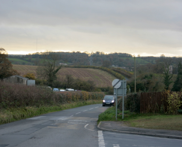
Image: © Maurice Pullin Taken: 16 Nov 2009
At the north west corner of the town heading to Farrington Gurney. Downsway leaves to the right. The Mendip TV Transmitter Mast disappears into the clouds on the left. Image
Images are licensed for reuse under creativecommons.org/licenses/by-sa/2.0
Image Location
Latitude
51.304613
Longitude
-2.511061