Briscoe Road / Boundary Road junction
Introduction
The photograph on this page of Briscoe Road / Boundary Road junction by Derek Harper as part of the Geograph project.
The Geograph project started in 2005 with the aim of publishing, organising and preserving representative images for every square kilometre of Great Britain, Ireland and the Isle of Man.

There are currently over 7.5m images from over 14,400 individuals and you can help contribute to the project by visiting https://www.geograph.org.uk
Briscoe Road / Boundary Road junction
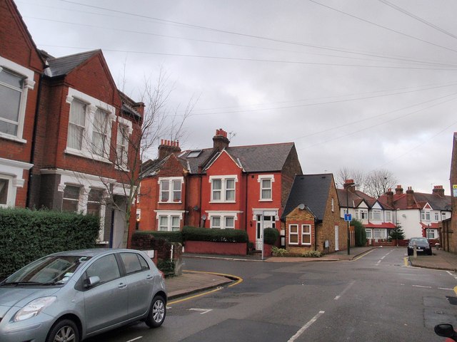
Image: © Derek Harper Taken: 30 Nov 2009
Two suburban roads cross in Collier's Wood. Briscoe Road is in the foreground. Ahead, Kimble Road, clearly of later date, is a no through road.
Images are licensed for reuse under creativecommons.org/licenses/by-sa/2.0
Image Location
Latitude
51.42248
Longitude
-0.177281