Donegal Street, Pentonville
Introduction
The photograph on this page of Donegal Street, Pentonville by Stephen McKay as part of the Geograph project.
The Geograph project started in 2005 with the aim of publishing, organising and preserving representative images for every square kilometre of Great Britain, Ireland and the Isle of Man.

There are currently over 7.5m images from over 14,400 individuals and you can help contribute to the project by visiting https://www.geograph.org.uk
Donegal Street, Pentonville
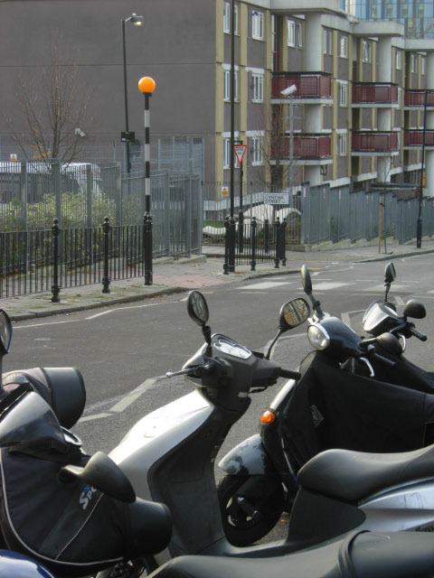
Image: © Stephen McKay Taken: 1 Dec 2009
Looking past a row of parked motor scooters towards the junction with Cynthia Street. Donegal Street runs to the north of and parallel with Pentonville Road; the area is residential, mostly in post-war blocks.
Images are licensed for reuse under creativecommons.org/licenses/by-sa/2.0
Image Location
Latitude
51.532432
Longitude
-0.113058