Greensand Way at the end of Hillcrest
Introduction
The photograph on this page of Greensand Way at the end of Hillcrest by David Anstiss as part of the Geograph project.
The Geograph project started in 2005 with the aim of publishing, organising and preserving representative images for every square kilometre of Great Britain, Ireland and the Isle of Man.

There are currently over 7.5m images from over 14,400 individuals and you can help contribute to the project by visiting https://www.geograph.org.uk
Greensand Way at the end of Hillcrest
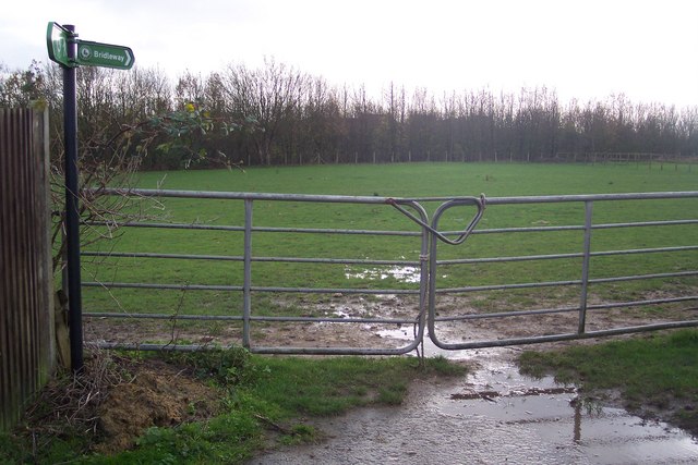
Image: © David Anstiss Taken: 29 Nov 2009
The long distance path heads from a short road in Great Chart across several horse paddocks (on a bridleway) towards a footbridge over the A28.
Images are licensed for reuse under creativecommons.org/licenses/by-sa/2.0
Image Location
Latitude
51.140864
Longitude
0.828952