Dry pond near East Lydeard
Introduction
The photograph on this page of Dry pond near East Lydeard by Derek Harper as part of the Geograph project.
The Geograph project started in 2005 with the aim of publishing, organising and preserving representative images for every square kilometre of Great Britain, Ireland and the Isle of Man.

There are currently over 7.5m images from over 14,400 individuals and you can help contribute to the project by visiting https://www.geograph.org.uk
Dry pond near East Lydeard
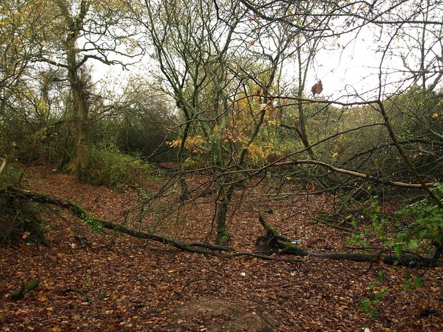
Image: © Derek Harper Taken: 27 Nov 2009
Ponds are scattered across this landscape, mostly hidden among trees, like this one that looks seasonal, one of a pair either side of the lane west of Middlebrooks.
Images are licensed for reuse under creativecommons.org/licenses/by-sa/2.0
Image Location
Latitude
51.066628
Longitude
-3.169207