Ballast Bank, Troon
Introduction
The photograph on this page of Ballast Bank, Troon by wfmillar as part of the Geograph project.
The Geograph project started in 2005 with the aim of publishing, organising and preserving representative images for every square kilometre of Great Britain, Ireland and the Isle of Man.

There are currently over 7.5m images from over 14,400 individuals and you can help contribute to the project by visiting https://www.geograph.org.uk
Ballast Bank, Troon
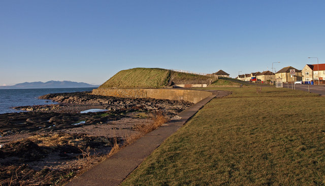
Image: © wfmillar Taken: 30 Nov 2009
This bank protects the harbour from the predominately South Westerly storms Arran on the left and Titchfield Road on the right. Centre of frame is where the toilet block stood.Image The small bay is called Port Ronnald.
Images are licensed for reuse under creativecommons.org/licenses/by-sa/2.0
Image Location
Latitude
55.542003
Longitude
-4.675854