Coal tip in Waterside valley
Introduction
The photograph on this page of Coal tip in Waterside valley by Derek Harper as part of the Geograph project.
The Geograph project started in 2005 with the aim of publishing, organising and preserving representative images for every square kilometre of Great Britain, Ireland and the Isle of Man.

There are currently over 7.5m images from over 14,400 individuals and you can help contribute to the project by visiting https://www.geograph.org.uk
Coal tip in Waterside valley
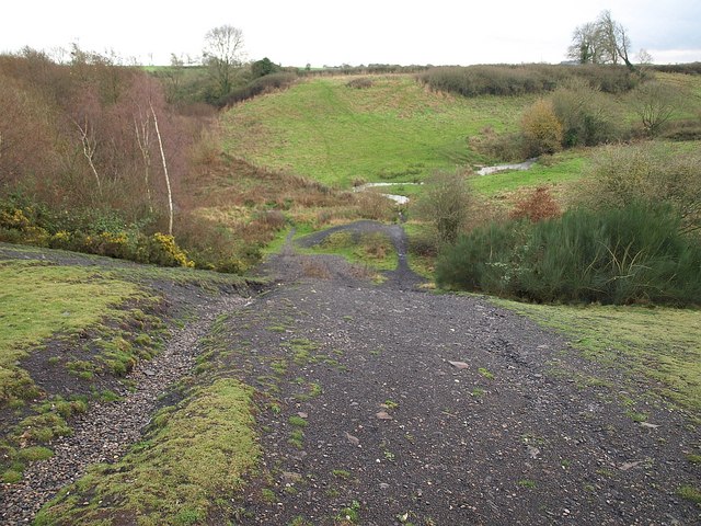
Image: © Derek Harper Taken: 26 Nov 2009
A reverse view of Image, looking down from near the summit of the black shale waste heap. The stream passes directly underneath the tip.
Images are licensed for reuse under creativecommons.org/licenses/by-sa/2.0
Image Location
Latitude
51.28028
Longitude
-2.459319