Stream at site of Kilmersdon Colliery tip
Introduction
The photograph on this page of Stream at site of Kilmersdon Colliery tip by Derek Harper as part of the Geograph project.
The Geograph project started in 2005 with the aim of publishing, organising and preserving representative images for every square kilometre of Great Britain, Ireland and the Isle of Man.

There are currently over 7.5m images from over 14,400 individuals and you can help contribute to the project by visiting https://www.geograph.org.uk
Stream at site of Kilmersdon Colliery tip
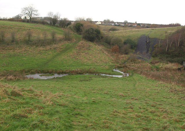
Image: © Derek Harper Taken: 26 Nov 2009
Footpath FR 7/11 drops to cross a swollen tributary of the Waterside brook, with the remains of a coal batch on the right, left over from Kilmersdon Colliery which closed in 1973.
Images are licensed for reuse under creativecommons.org/licenses/by-sa/2.0
Image Location
Latitude
51.27983
Longitude
-2.459315