Field beside Charlton Lane
Introduction
The photograph on this page of Field beside Charlton Lane by Derek Harper as part of the Geograph project.
The Geograph project started in 2005 with the aim of publishing, organising and preserving representative images for every square kilometre of Great Britain, Ireland and the Isle of Man.

There are currently over 7.5m images from over 14,400 individuals and you can help contribute to the project by visiting https://www.geograph.org.uk
Field beside Charlton Lane
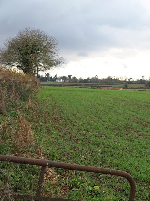
Image: © Derek Harper Taken: 26 Nov 2009
A view along the other side of the hedge from Image, with another crop that looks like grass. The roof to the right is at Redhouse Farm; the more distant buildings are at White Post on the Fosse Way in Image
Images are licensed for reuse under creativecommons.org/licenses/by-sa/2.0
Image Location


Leaflet Map data © OpenStreetMap
Latitude
51.272711
Longitude
-2.463114