Tree management in Hothfield Common
Introduction
The photograph on this page of Tree management in Hothfield Common by David Anstiss as part of the Geograph project.
The Geograph project started in 2005 with the aim of publishing, organising and preserving representative images for every square kilometre of Great Britain, Ireland and the Isle of Man.

There are currently over 7.5m images from over 14,400 individuals and you can help contribute to the project by visiting https://www.geograph.org.uk
Tree management in Hothfield Common
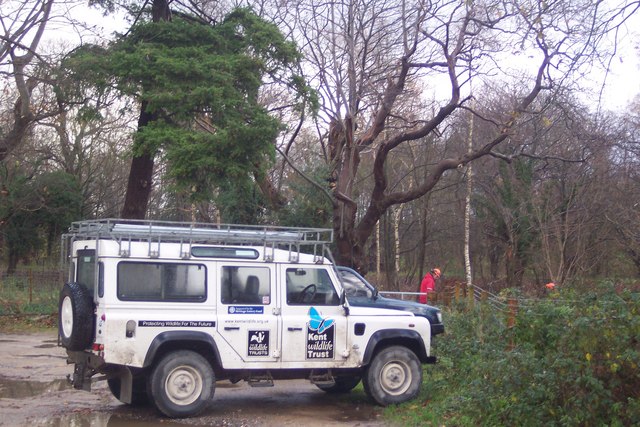
Image: © David Anstiss Taken: 29 Nov 2009
The Kent Wildlife Trust manage the land around Hothfield Common. The rangers and tree fellers head towards the woods with chainsaws and other tools. Seen from the car park beside the Common.
Images are licensed for reuse under creativecommons.org/licenses/by-sa/2.0
Image Location
Latitude
51.177592
Longitude
0.820183