Waste ground near Portland Park
Introduction
The photograph on this page of Waste ground near Portland Park by Trevor Rickard as part of the Geograph project.
The Geograph project started in 2005 with the aim of publishing, organising and preserving representative images for every square kilometre of Great Britain, Ireland and the Isle of Man.

There are currently over 7.5m images from over 14,400 individuals and you can help contribute to the project by visiting https://www.geograph.org.uk
Waste ground near Portland Park
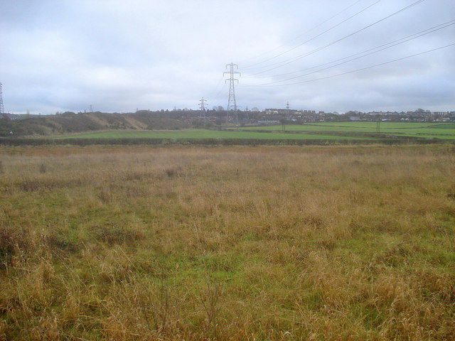
Image: © Trevor Rickard Taken: 28 Nov 2009
Looking south-east to the outskirts of Kirkby-in-Ashfield with the railway embankment running along the left. This area of land between the embankment and Portland Park seems to be unused. The limestone rock under foot feels like rubble and is probably not suitable for farming.
Images are licensed for reuse under creativecommons.org/licenses/by-sa/2.0
Image Location
Latitude
53.090408
Longitude
-1.253224